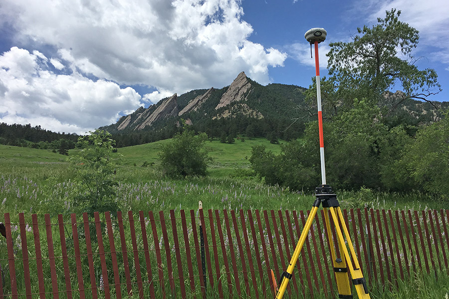
Services
We offer a wide range of land surveying services, including:
Residential and Commercial Services
- Colorado Monumented Boundary Surveys: Improvement Survey Plat (ISP), Land Survey Plat (LSP).
- Mineral Retracement Surveys
- Topographic Exhibits: We can create detailed maps of the natural and man-made features of your property, including contour lines, buildings, trees, and utilities.
- New Easement Description and Exhibit maps; Easement Vacation Description and Exhibits
- Construction Staking: We can provide accurate staking and layout services for your construction project, ensuring that your project is built to the exact specifications of your plans.
- FEMA Elevation Certificates: We can provide elevation certificates for properties located in flood zones, helping you comply with FEMA regulations and potentially lower your flood insurance premiums.
- ALTA/NSPS Land Title Surveys: We can provide detailed surveys that meet the standards of the American Land Title Association and National Society of Professional Surveyors, ensuring that your title insurance company has all the information they need to insure your property.
- Certificates: Elevation Certificate or Improvement Location Certificate
- Verification surveys: Setback Verification forms and letters; Height and Bulk Plane Verifications; Form checks
- Annexation Maps
- Subdivision Plats; Minor Subdivision Plats; Replats; Parcel Reconfiguration Surveys; Zone Lot Amendment Surveys; Subdivision Exemption Plats